Orientation and positioning with GPS and compasses
Positioning and orientation equipment for hiking and sports

Spain, and by extension the Iberian Peninsula is one of the most important medium altitude territories in Europe, only closely followed by Switzerland and Andorra. With this environment, it is entirely normal that the hobby of hiking, trekking and mountaineering in Spain is very important, often from childhood.
There are many associations, centers and groups of hikers that bring together amateurs and nature lovers. They program routes and exits and are frequent users of compasses, GPS devices and cartography.
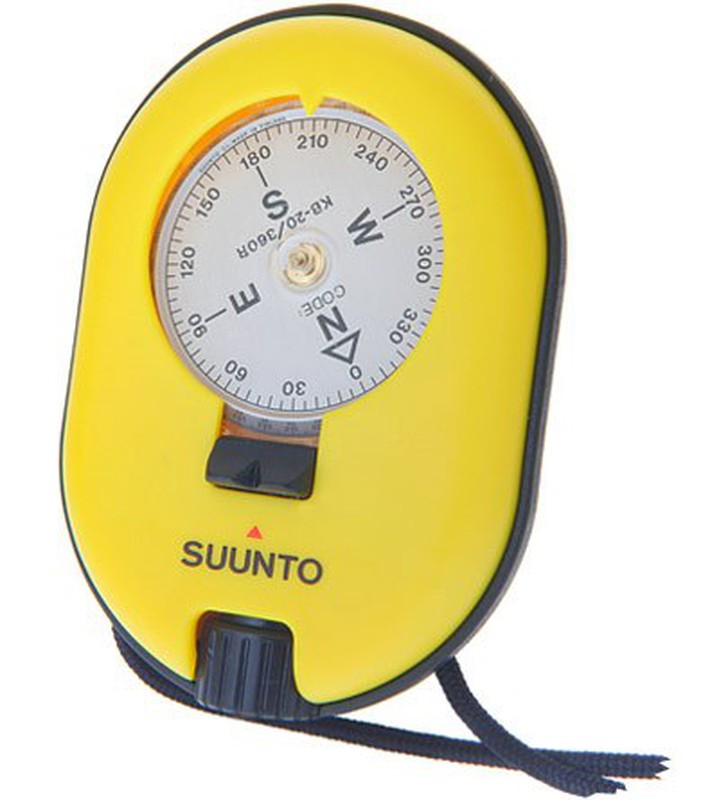
Compass: The compass is an orientation instrument that uses a magnetic needle to mark the Earth's magnetic north. Its operation is based on terrestrial magnetism, so it indicates the magnetic south that corresponds to the geographic north and is useless in the north and south polar areas due to the convergence of the lines of force of the terrestrial magnetic field.
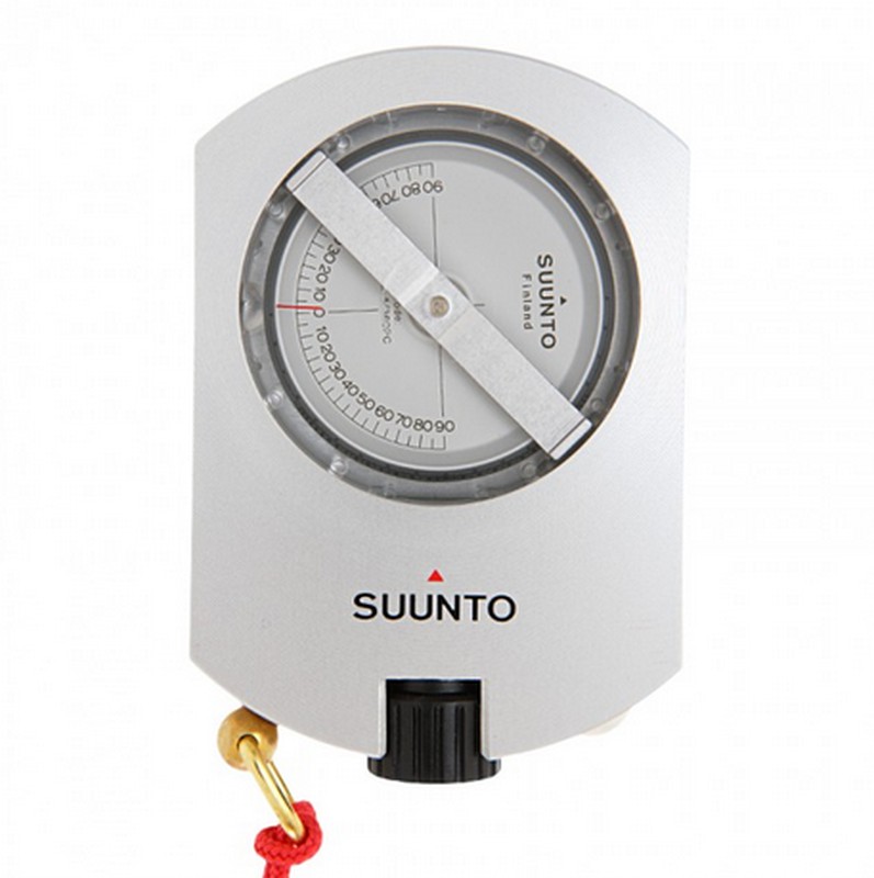
Clinometer: The clinometer is a metal device used to measure the angle from the vertical (measured in degrees) of certain elements (towers, poles, trees, strata, etc.). Formerly it was used to determine the angle of fire in artillery pieces. In the guns it was installed in different places in order to establish the value of the angle of fire in thousandths using the Vernier scale of measurement and the level that the device had.
Curvimeter: A curvimeter is a mechanical or electronic device (measuring instrument), used to measure the length of a curve on a plane. In cartography it is used to measure small distances on a map.
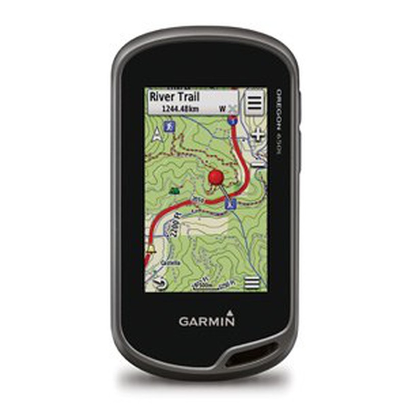
The initials of GPS hide the meaning of "Global Positioning System", that is to say, Global Positioning System. A system that allows the position of an object to be determined throughout the earth with a precision of centimeters. It was developed by the United States Department of Defense and works with a network of 24 satellites, which perform a trilateration function to determine the exact position of an object.
Rússia developed the GLONASS system, vegeta nowadays, and that many current devices incorporate together with the GPS system in order to improve location accuracy.
Given this existential dilemma, first of all we have to know what its use will be, so we will differentiate it into two options: Hiking / Hiking and Bicycle / Sport
Hiking: For this option the GPS to choose will have to be a device with the following characteristics:
- Memória: To house tracks and routes
- Accuracy: Good signal reception for difficult or very isolated terrains, for example within forest or inaccessible mountains.
- Ergonomics: Good grip and also good handling in difficult conditions. Push button device recommended for low temperature conditions.
Bicycle and sport: For this option the GPS to choose will have to be a device with the following characteristics:
- Touchscreen and with good contrast: To be able to see the route at all times
- Memória: To house tracks and routes
- Connectivivad: With other GPS devices and with mobile devices
- Accessories: For cycling and running, such as the cadence sensor and heart rate monitor.
As important as the device is the information it contains. The cartography is basic for its operation and use that we give it. There is a great variety in cartography and cartographic material is currently available for very specific areas on a very detailed scale.
A GPS device supports mapping both on internal memory and on an additional microSD card. This mapping can come pre-installed on the device (usually on a large scale) or the user can incorporate it and update it whenever they want, directly to the GPS or from another device, (PC).
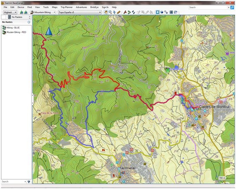
There are computer software for editing cartography for GPS, with them you can create routes, tracks and points of interest. Plan excursions and make a set-up of your GPS before starting the route.



Opinions of our clients
Receive our news