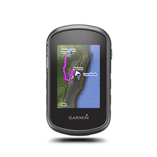
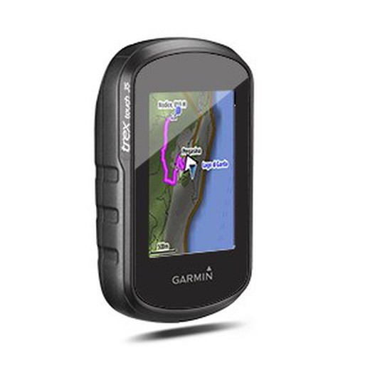
Garmin eTrex Touch 35 GPS
Brand: Garmin
Reference: 010-01325-11
€305.18
Product sold out, not available at this time.
Next stock entry on the way, expected
Description
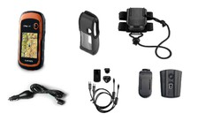
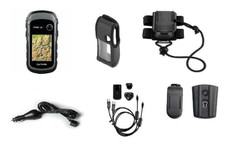
eTrex Touch 35 is the latest addition to the eTrex Touch series, made especially for the more advanced hiker or mountaineer. A GPS specially designed for your excursions and outdoor trips, both on foot and by bicycle. Includes pre-installed maps and bike mount.
Details
More information
eTrex brings us its newest and most practical version of its eTrexTouch browsers. Multiple functions for the hiker and cyclist that place you at the top of its range.
Garmin always takes care of the best visualization with the 2.6 "capacitive touchscreen . Special mention is also made of its three-axis electronic compass , the barometric altimeter and the geocaching system for referencing, recording and marking key points.Its reduced size and weight make it ideal for drinking. Also with the pleasure of sharing your routes and excursions with other travel companion devices.
Characteristics:
- Unit dimensions (Width / Height / Depth): 5.8 x 10.2 x 3.3 cm
- Screen size (Width / Height): 3.6 x 5.5 cm
- Screen resolution (Width / Height): 160 x 240 pixels
- Screen type: 2.6 "65,000 color TFT
- Touch screen: Yes
- Weight: 159 g with batteries
- Battery: 2 AA batteries (not included); NiMH or lithium recommended
- Battery life: Up to 16 hours
- Water resistance classification: IPX7
- High sensitivity receiver: Yes
- Computer interface: USB
- Camera: No
- Barometric altimeter: Yes
- Electronic compass: Yes
- Unit-to-unit transfer (wirelessly shares data with similar units)
- Basemap: Yes
- Preloaded maps: Yes - Garmin TopoActive Europe Map
- Ability to add maps: Yes
- Internal memory: 8 GB
- Accepts data cards: microSD ™ card (not included)
- Customizable POIs (possibility to add additional POIs): Yes
- Waypoints: 4000
- Routes: 200
- Track log: 10,000 points, 200 saved tracks
- Automatic route creation (turn by turn on the road): Yes (with optional maps with detailed road information)
- Geocaching mode: Yes (paperless)
- Compatible custom maps: Yes
- Astronomical information
- Tide Prediction Yes (with optional BlueChart)
- Area calculation
- Pictures viewer
- Garmin Connect ™
- Garmin Connect ™ compatible (online community where you can analyze, classify and share data)
Comments
There are no opinions yet Be the first to review!
Questions
No questions yet Do you have any doubt?
Best price
Have you seen it cheaper?
