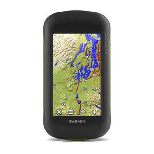
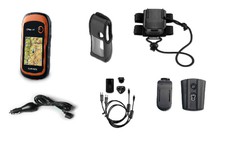
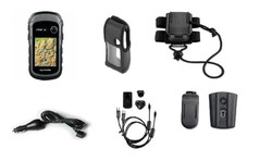
Garmin Montana 610 GPS
Brand: Garmin
Reference:
€539.93
Product sold out, not available at this time.
Next stock entry on the way, expected
Description
The little brother of the Montana series offers you the same possibilities as his other two similar ones of the superior series, with the exception of not having a camera. An indispensable orientation instrument for any lover of outdoor sports.
Details
More information
The most valued of a GPS is its precision and in this case the Glonass system offers us an exact and reliable positioning.Versatile for motor sports or on foot , and resistant to the most adverse environmental conditions . Its easy-to-read, double-orientation touch screen is another example of the quality of this tool.
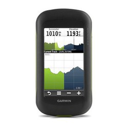
Track Manager application to record, view and analyze your tracks. To complete essential tools, it offers a barometric altimeter and a three-axis compass.
Characteristics:
Track Manager application to record, view and analyze your tracks. To complete essential tools, it offers a barometric altimeter and a three-axis compass.
Characteristics:
- Unit dimensions (Width / Height / Depth): 7.48 x 14.42 x 3.64 cm
- Screen size (Width / Height): 5.06 x 8.93 cm; 4 "diagonally (10.2 cm)
- Screen resolution (Width / Height): 272 x 480 pixels
- Display type: Bright, transflective 65,000-color, dual-orientation TFT touchscreen that can be read in sunlight
- Touch screen: yes
- Weight: 289 g (10.2 oz) with a lithium-ion battery (included); 333 g (11.7 oz) with three AA batteries (not included)
- Battery: Rechargeable lithium-ion battery (included) or 3 AA batteries (not included); NiMH or lithium recommended
- Battery life: Up to 16 hours (lithium ion); up to 22 hours (AA batteries)
- Water resistance classification: IPX7
- High Sensitivity Receiver: Yes
- Computer interface: Compatible with high speed USB and NMEA 0183
- Camera: No
- Barometric altimeter: Yes
- Electronic compass: Yes (three axes with offset tilt)
- Unit-to-unit transfer (shares data with similar units wirelessly): Yes
- Basemap: Yes
- Preloaded maps: 1 year subscription to BirdsEye satellite images ready to download once you have registered the device.
- Ability to add maps: Yes
- Internal memory: 2.7 GB
- Accepts data cards: Yes, microSD ™ card (not included)
- Customizable POIs (possibility to add additional POIs): Yes
- Waypoints: 4000
- Routes: 200
- Track log: 10,000 points, 200 saved tracks
- Automatic route creation (turn by turn on the road): Yes (with optional maps with detailed road information)
- Geocaching mode: Yes (paperless)
- Compatible custom maps: Yes
- Hunting and Fishing Calendar: Yes
- Astronomical information: Yes
- Tide Prediction: Yes (with optional BlueChart)
- Area calculation: Yes
- Image viewer: Yes
- Garmin Connect ™: Compatible with Garmin Connect ™ (online community where you can analyze, classify and share data)
Comments
There are no opinions yet Be the first to review!
Questions
No questions yet Do you have any doubt?
Best price
Have you seen it cheaper?
