Garmin TransAlpin v4.0 PRO mapping
Brand: Garmin
Reference: 010-11404-02
€182.70
Product sold out, not available at this time.
Next stock entry on the way, expected
Description
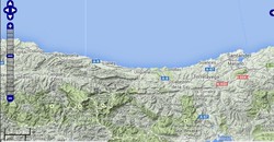
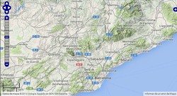
If you are planning an excursion, trip or route through the Alps, this complete edition of maps for your GPS will be of great help. You can choose the DVD, micro SD or SD card version and download.
Details
More information
Characteristics:
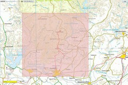
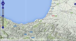
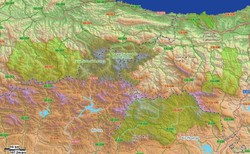
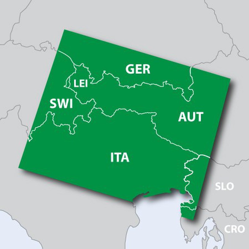
- Displays high-quality digital vector topographic map data (1: 25,000) in parts of Austria, Italy, Germany, Switzerland, and Slovenia.
- Includes digital elevation models (DEM) and dense 20-meter offset contour intervals.
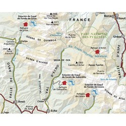
- It includes searching for business and tourist points of interest, outdoors and places of leisure, geographical points, mountain ranges and prominent areas of cities, among other leisure POIs.
- It includes detailed information on route networks and recreational trails, particularly for mountain biking and hiking.
- It includes information from the Transalp Mountain Bike network for the creation of routes for trails based on their name, as well as additional long-distance routes for cycling.
- It offers ActiveRouting¹, which allows you to customize and plan specific routes across the entire road and trail network. The specific activity map shows the highlights of the suggested routes, as well as special routes for cycling and hiking.
- It shows areas of dense coverage, including mountain peaks, mountain shelters, and cable cars.
- Includes BaseCamp ™ software to manage data on the GPS and the computer, reproduce routes and tracks, assign georeferences to photos, etc.
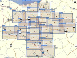
- It includes high-quality digital vector topographic map data of areas in Austria, Italy, Germany, Switzerland and Slovenia, specifically:
- Germany (south of 48 ° north latitude)
- Southern part of bavaria
- Southern part of Baden-Württemberg
- Austria (west of 14 ° east longitude)
- Tirol
- Vorarlberg
- Salzburg
- Parts of Carinthia
- Parts of Upper Austria and Styria
- Switzerland (east of 9 ° east longitude)
- Thurgau
- St. Gall
- Appenzell (Outside Rhodes and Inside Rhodes)
- Grisons
- Glarus
- Liechtenstein
- Italy (north of 45.2 ° north latitude)
- Trentino / South Tyrol
- Friuli
- Veneto (with Verona and Venice)
- Lombardy (with Milan)
- Slovenia (west of 14 ° east longitude)
- aera® 500
- aera® 550
- aera® 795
- Astro®
- Dakota ™ 10
- Dakota ™ 20
- Edge® 1000
- Edge® 605
- Edge® 705
- Edge® 800
- Edge® 810
- Edge® Explore 1000
- Edge® Touring
- Edge® Touring Plus
- epix ™
- eTrex® 20
- eTrex® 20x
- eTrex® 30
- eTrex® 30x
- eTrex® Touch 25
- eTrex® Touch 35
- GPSMAP® 720 / 720s
- GPSMAP® 1020xs
- GPSMAP® 62
- GPSMAP® 62s
- GPSMAP® 62sc
- GPSMAP® 62stc
- GPSMAP® 64
- GPSMAP® 64s
- GPSMAP® 64st
- GPSmap® 76CSx
- GPSmap® 76Cx
- GPSMAP® 78
- GPSMAP® 78s
- GPSMAP® 820xs
- Montana® 600
- Montana® 610
- Montana® 650
- Montana® 650t
- Montana® 680
- Montana® 680t
- Monterra ™
- Oregon ™ 200
- Oregon® 450
- Oregon® 450t
- Oregon® 550
- Oregon® 550T
- Oregon® 600
- Oregon® 600t
- Oregon® 650
- Oregon® 650t
- zūmo® 220
- zūmo® 340LM
- zūmo® 350LM
- zūmo® 390LM
- zūmo® 500 Deluxe
- zūmo® 590LM
Comments
There are no opinions yet Be the first to review!
Questions
No questions yet Do you have any doubt?
Best price
Have you seen it cheaper?