1 / 4


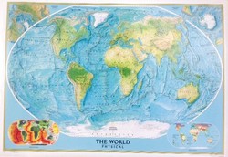
The World (130x93cm) National Geografic Poster
Brand: National Geographic
Reference: 8,4E+12
€37.41
Product sold out, not available at this time.
Next stock entry on the way, expected
Description
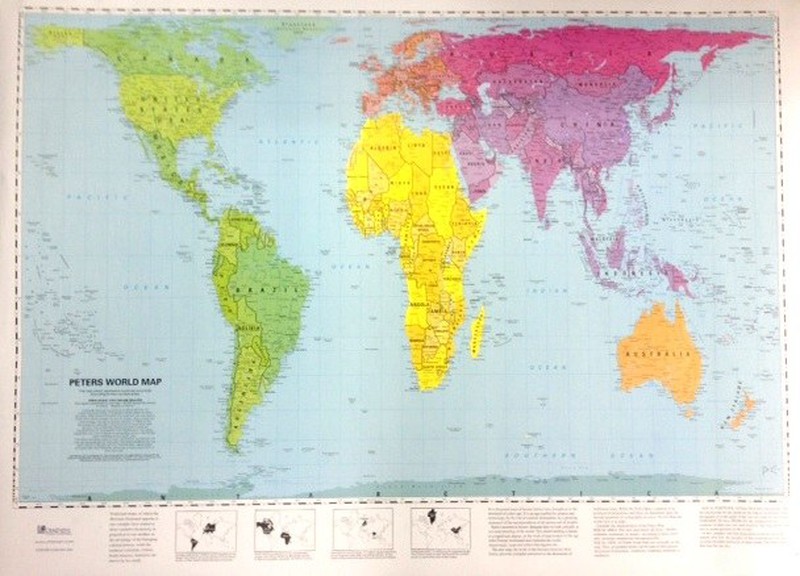
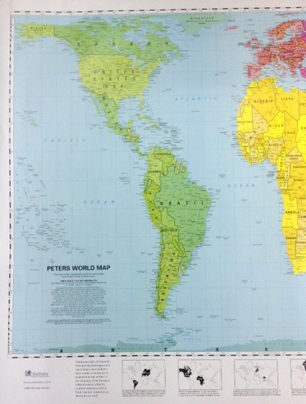
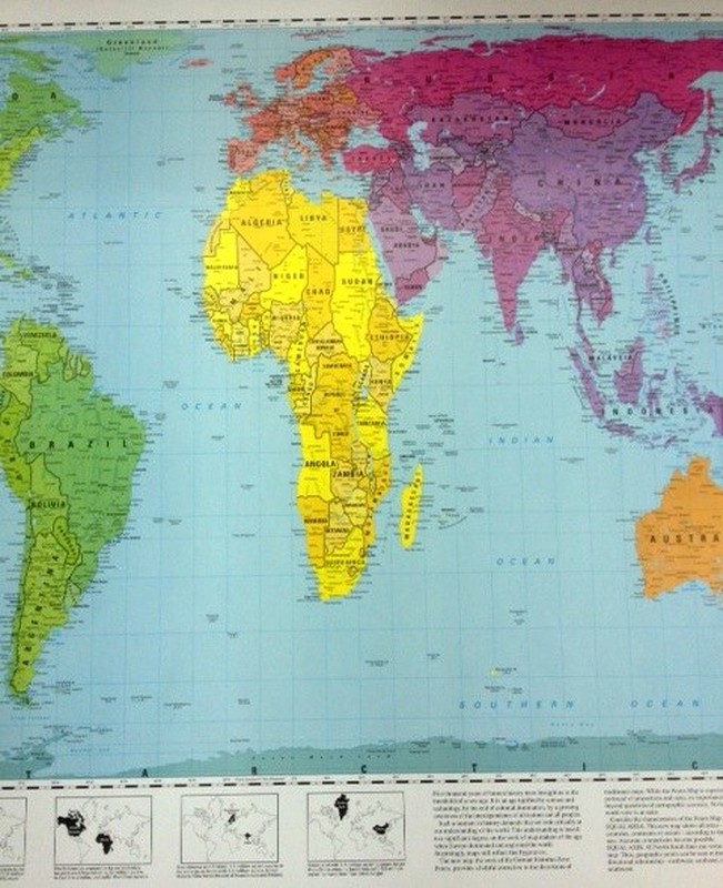
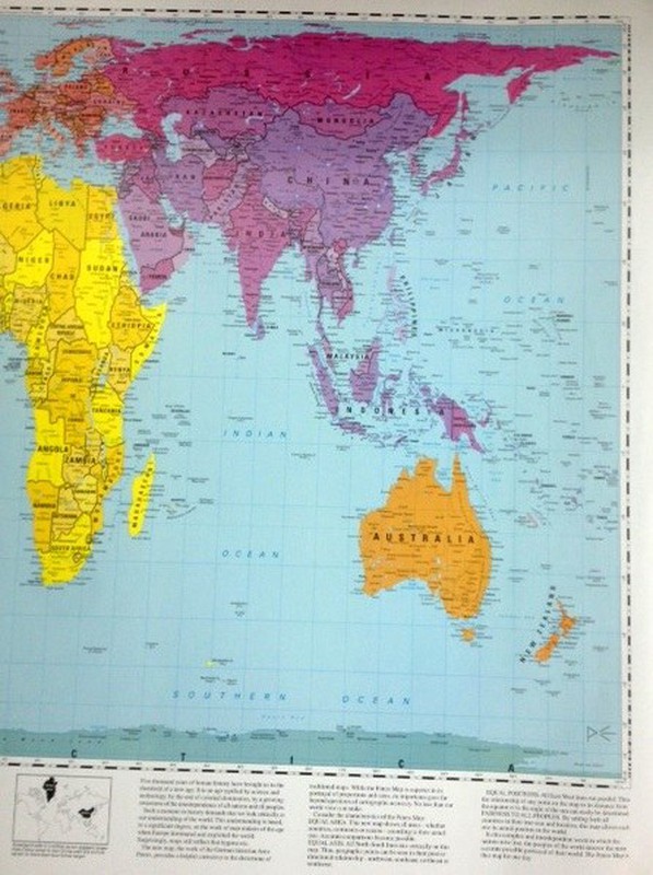
This map shows the countries in proportion to their relative sizes. It is based on the Arno Peters decimal grid that divides the earth's surface into 100 longitudinal fields of equal height; treat the rectangles around Ecuador as blocks and the other rectangles on theses in proportion to the areas that the structures represent.
Details
More information
Characteristics:
- Material: paper
- Measures: 93x130cm
- Scale: 1cm2 = 54,750km2
Comments
There are no opinions yet Be the first to review!
Questions
No questions yet Do you have any doubt?
Best price
Have you seen it cheaper?